CROSS · Carnic Alps (AT/IT)

Carnic Border Trail (Peace Trail)

Multi-day hut-to-hut trek across Alpenverein huts
Carnic Border Trail (Peace Trail)
Hard Cross-borderVia ferrata
hut-reservation.org
156 km
Distance
+8,500 m
Ascent
8-11 days
Duration
8
Huts
Best time: July – September
Check hut availability →
Download GPX ↓file contains 116 km · 10 stages

About the route

Highest point
2,663 m
Huts on the route
8 × hut
Secured sections
Via ferrata K1-K2 · avoidable
Best time
July – September

The route at a glance

Elevation profile
↑ 6,491 m ascent↓ 6,671 m descent119.2 km2,663 m summit
from our track · the header shows the official figure
80018002700Sillianer Hütte · 2447 mObstansersee-Hütte · 2304 mFilmoor-Standschützen-Hütte · 2350 mPorze-Hütte · 1942 mHochweißstein-Haus · 1868 mWolayersee-Hütte · 1960 mValentinalm · 1215 mZollnersee-Hütte · 1750 m0 km24 km48 km72 km95 km119 km
Line colour = gradient (green gentle → red steep). Dots = huts. Route: © OpenStreetMap (ODbL), elevations from mapy.com.
Route mapOpen full map ↗

Plan and book

Live availability · Alpenverein

Pick a start date, for every night on the route you instantly see the free beds and book directly through the official Alpenverein system.


Choose start date
How many staying overnight
1
„free" = beds for the whole group
MonTueWedThuFriSatSun
All huts freePartly freeSelected
Start · arrival
Comelico Superiore
◎ Plan arrival
Comelico Superiore
Before the start · lodging
Stay overnight in Comelico Superiore
Hotels and guesthouses in Comelico Superiore · Booking.com
Booking.com →
1
Day 1 · traverse to Leckfeldalm
↔ 18.8 km↑ 1234 m↓ 822 m◷ 8–9 h

Start in Sillian in East Tyrol, gentle ascent from the valley to the Carnic ridge. Warm-up before what comes.

Leckfeldalm 1600 m
Valley village · lodging via Booking.com
Booking.com →
2
Sillianer Hütte
Day 2 · traverse to Sillianer Hütte
↔ 2.9 km↑ 559 m↓ 84 m◷ 2 h 24 min

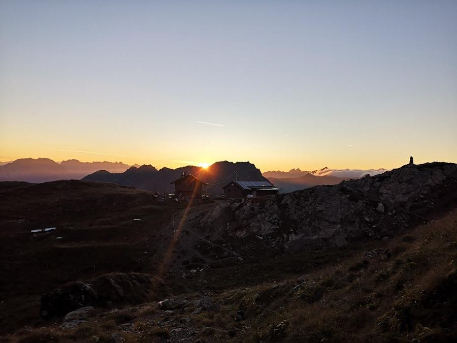
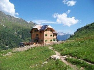
Sillianer Hütte at 2447 m, the first major hut on the ridge, right on the Austria-Italy border, with panorama over Sexten Dolomites.

Sillianer Hütte 2447 m
Not in the online reservation system · book directly with the hut
3
Obstansersee-Hütte
Day 3 · traverse to Obstansersee-Hütte
↔ 8.5 km↑ 346 m↓ 379 m◷ 3 h 5 min

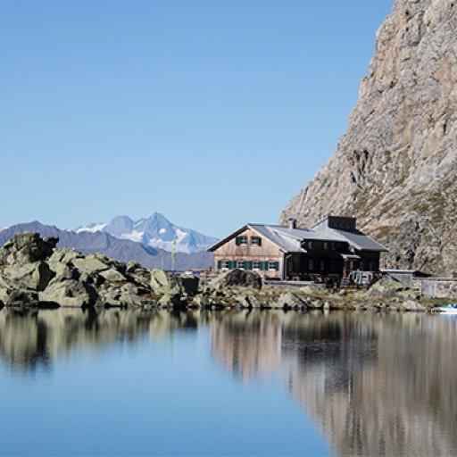
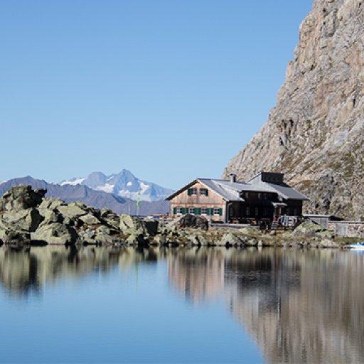
Obstansersee-Hütte beside a mountain lake. First traces of the WWI front line appear in the terrain.

Obstansersee-Hütte 2304 m
Not in the online reservation system · book directly with the hut
4
Filmoor-Standschützen-Hütte
Day 4 · traverse to Filmoor-Standschützen-Hütte
↔ 4.6 km↑ 335 m↓ 379 m◷ 2 h 27 min

Filmoor-Standschützenhütte at 2350 m: built by Austria's Bundesheer from 1976 onward, named for Tyrolean Standschützen who held the Filmoor and Kinigat front in 1915.

Filmoor-Standschützen-Hütte 2350 m
Not in the online reservation system · book directly with the hut
5
Porze-Hütte
Day 5 · traverse to Porze-Hütte
↔ 6.2 km↑ 204 m↓ 632 m◷ 2 h 43 min

Porzehütte below Große Kinigat / Porze massif. High Alpine, rocky terrain.

Porze-Hütte 1942 m
Not in the online reservation system · book directly with the hut
6
Hochweißstein-Haus
Day 6 · traverse to Hochweißstein-Haus
↔ 16.7 km↑ 982 m↓ 967 m◷ 7 h 18 min

Hochweißsteinhaus, one of the hardest sections; the ridge exacts its toll on the quads.

Hochweißstein-Haus 1868 m
Not in the online reservation system · book directly with the hut
7
Wolayersee-Hütte
Day 7 · traverse to Wolayersee-Hütte
↔ 13.6 km↑ 862 m↓ 778 m◷ 6 h 8 min

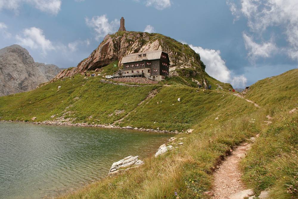
Wolayersee-Hütte at a deep-blue lake cradled by sheer walls, one of the route's most iconic images. Above it, Monte Coglians (Hohe Warte), the Carnic Alps' highest peak with the Bell of Peace.

Wolayersee-Hütte 1960 m
Not in the online reservation system · book directly with the hut
8
Valentinalm
Day 8 · traverse to Valentinalm
↔ 5.8 km↑ 209 m↓ 1013 m◷ 3 h 27 min

Descent past Untere Valentinalm to the western section's end. Near Plöckenpass sits an open-air museum of the 1915–1917 Alpine war.

Valentinalm 1215 m
Valley village · lodging via Booking.com
Booking.com →
9
Zollnersee-Hütte
Day 9 · traverse to Zollnersee-Hütte
↔ 19.7 km↑ 966 m↓ 425 m◷ 6 h 58 min

Eastern section of the ridge: Zollnersee-Hütte beside a mountain lake. Terrain opens; pace holds.

Zollnersee-Hütte 1750 m
Not in the online reservation system · book directly with the hut
10
Day 10 · traverse to Nassfeld
↔ 19.4 km↑ 617 m↓ 1034 m◷ 6 h 55 min

Approach to Nassfeld on the Carinthian side; foothill character begins.

Nassfeld 2540 m
Valley village · lodging via Booking.com
Booking.com →
Descent to the valley · Hermagor-Pressegger See
From the last hut you descend to the valley village, approximate destination, lodging below.
Hermagor-Pressegger See
After the trek · lodging
Rest up in Hermagor-Pressegger See
Hotels and guesthouses in Hermagor-Pressegger See · Booking.com
Booking.com →
Route alert
Want the whole route on one date?
Leave your e-mail. We’ll write as soon as every hut on the route lines up with no gaps, with the dates straight to your calendar.

What to pack

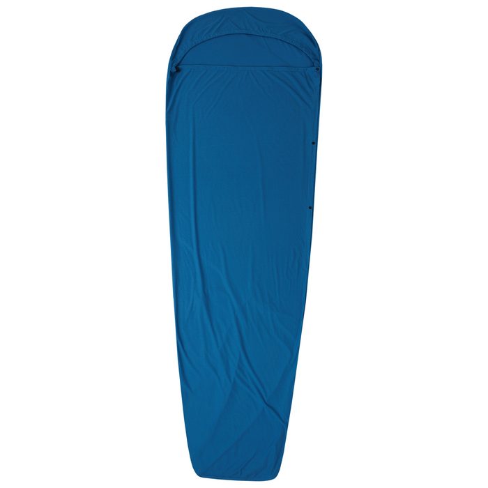
Sleeping bag liner
Sleeping bag liner
Required in huts
Browse at 4camping →
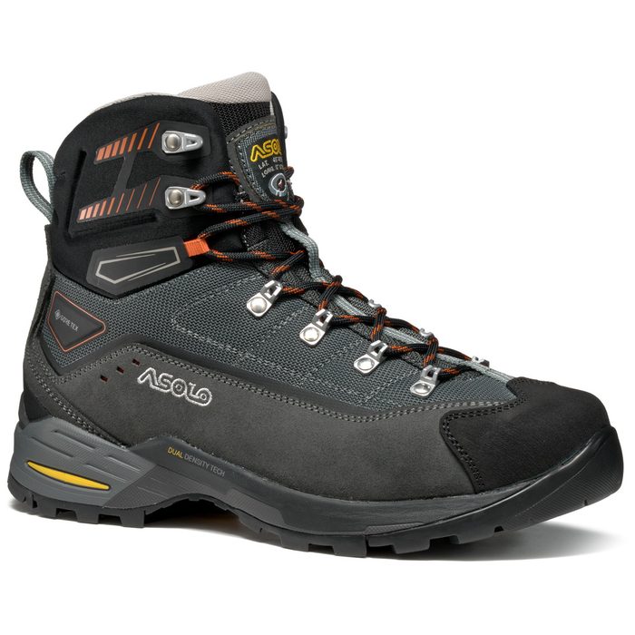
Hiking boots
Hiking boots
Ankle-high, for multi-day treks
Browse at 4camping →
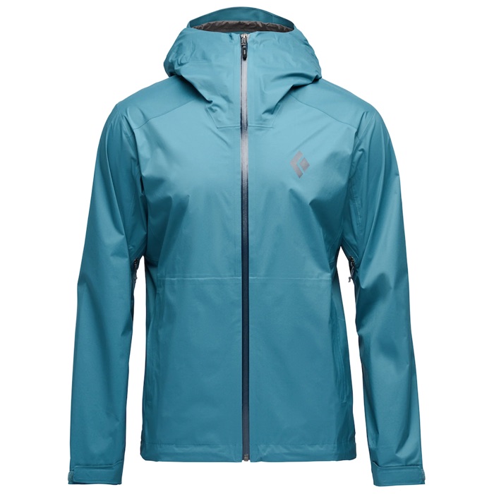
Waterproof jacket
Waterproof jacket
Hardshell, 3-layer
Browse at 4camping →
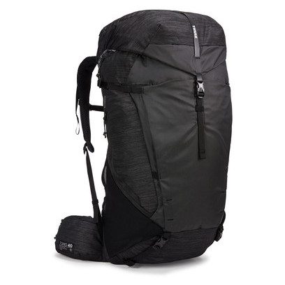
Backpack 30–40 l
Backpack 30–40 l
Multi-day, with rain cover
Browse at 4camping →
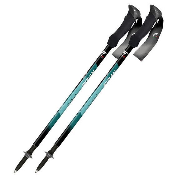
Trekking poles
Trekking poles
Telescopic and foldable
Browse at 4camping →
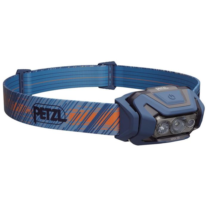
Headlamp
Headlamp
Rechargeable
Browse at 4camping →
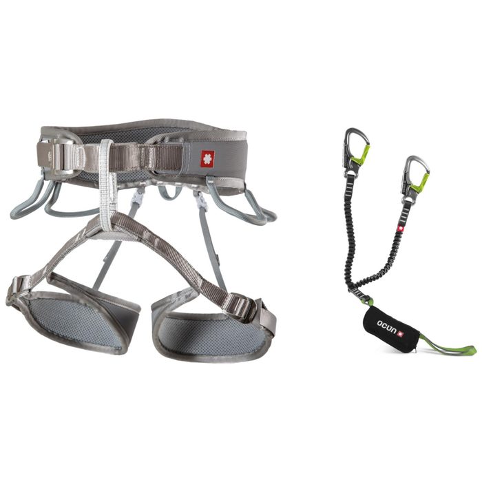
Via ferrata set
Via ferrata set
Shock absorber + carabiners
Browse at 4camping →
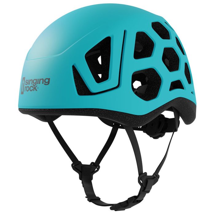
Climbing helmet
Climbing helmet
Light, for via ferrata
Browse at 4camping →

Handy before you go

tips from verified partners
View on GetYourGuide
Partner · experiences
Tours and activities nearby
Guided tours, via ferratas and trips around Comelico Superiore, book online.
View on GetYourGuide →
Get Revolut
Partner · payments
No foreign-currency fees
A card for fee-free payments and withdrawals along the whole route, exchange rate with no markup.
Get Revolut →
Buy an eSIM on Airalo
Partner · connectivity
eSIM data in the Alps
Mobile data without roaming for the whole trek, activated in a minute.
Buy an eSIM on Airalo →

Frequently asked questions

How long is the Karnic Ridge Trail?+
About 155 km along the main Carnic Alps ridge, from Sillian in East Tyrol to Thörl-Maglern near Arnoldstein. Some sources cite up to 170 km depending on variant and side summits.
How many days should I plan?+
Eight to eleven days depending on pace, experience, and weather. Total gain is roughly 8500 meters, more marathon than sprint.
How difficult is the route?+
Demanding (hard). There are exposed sections secured with steel cables and ladders, and you cross thirty summits. No special via ferrata gear needed, mainly a head for heights and steady feet.
When is the best time to go?+
Summer, roughly mid-July through late September. Outside this window, the ridge holds snow and huts are closed.
Which huts are on the route?+
Including Sillianer Hütte, Obstansersee-Hütte, Filmoor-Standschützenhütte, Porzehütte, Hochweißsteinhaus, Wolayersee-Hütte, and further east Zollnersee-Hütte and adjacent alps. Most belong to Alpenverein.
How do I reserve lodging?+
Huts fall under Alpenverein; book at least a week ahead, via the hut's reservation system or by phone. Alpenverein membership discounts fees and provides mountain insurance.
Why is it called Friedensweg, Peace Trail?+
It follows the WWI front line. From 1915, this was the mountain war line between Austria-Hungary and Italy. In the 1970s, the Dolomitenfreunde club linked old military paths and transformed the front into a peace trail.
Will I see WWI remains?+
Yes. Trenches, caverns, artillery positions, and barbed wire remain in the terrain after a century. At Plöckenpass, an open-air museum documents the 1915–1917 Alpine war.
Do I need via ferrata gear?+
No. There are steel-cable and ladder-secured sections, but you don't need formal ferrata equipment, mainly a head for heights and steady foot. Those afraid of exposure won't enjoy it.
Where does the route begin and end?+
It starts in Sillian in East Tyrol and finishes in Thörl-Maglern near Arnoldstein in Carinthia. Classically hiked west to east.
Can I climb the Carnic Alps' highest peak?+
Yes, as a side trip. Monte Coglians (Hohe Warte) is the Carnic Alps' highest peak, and the Bell of Peace hangs on its slope. It sits above the Wolayersee section.
Is this route for beginners?+
No. It's for experienced multiday hikers who've completed other hut-to-hut treks and aren't bothered by exposure.
Can I shorten the route?+
Yes. Split it into two halves. The western section ends at Plöckenpass; the eastern continues over Zollnersee-Hütte and Nassfeld. You can hike on and off at several passes.

Similar routes

Show all routes →
Munich–VeniceHard
Munich–Venice
Alps / Dolomites / Piave
537 km30-32 days
Tour du Mont BlancModerate
Tour du Mont Blanc
Mont Blanc Massif (FR/IT/CH)
166 km10 days
Alpe-Adria-TrailEasy
Alpe-Adria-Trail
High Tauern → Trieste (AT/SI/IT)
750 km43 days