🇮🇹Italy · Dolomites

Dolomites High Trail 1

Multi-day hut-to-hut trek across Alpenverein huts
Dolomites High Trail 1
Hard TraverseVia ferrata
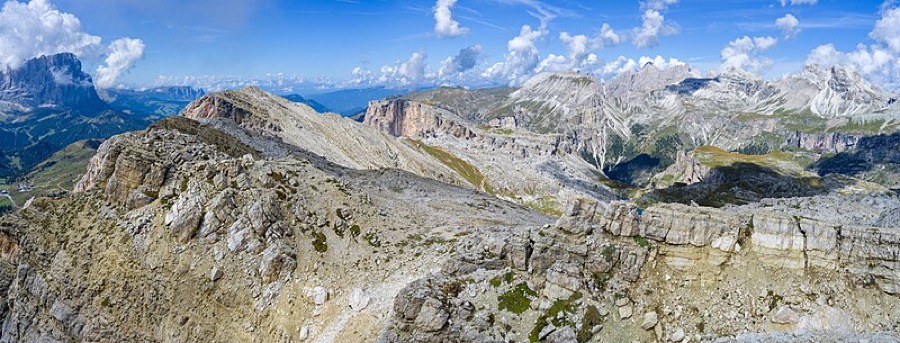
Wolfgang Moroder · CC BY-SA 3.0
150 km
Distance
+9,500 m
Ascent
13 days
Duration
0
Huts
Best time: July – September
Check hut availability →
Download GPX ↓file contains 172 km · 10 stages

About the route

Highest point
2,752 m
Huts on the route
0 × hut
Secured sections
Via ferrata K1-K2 · avoidable
Best time
July – September

The route at a glance

Elevation profile
↑ 8,442 m ascent↓ 7,456 m descent174.9 km2,739 m summit
from our track · the header shows the official figure
300160028000 km35 km70 km105 km140 km175 km
Line colour = gradient (green gentle → red steep). Dots = huts. Route: © OpenStreetMap (ODbL), elevations from mapy.com.
Route mapOpen full map ↗

Plan and book

Live availability · Alpenverein

Pick a start date, for every night on the route you instantly see the free beds and book directly through the official Alpenverein system.


Choose start date
How many staying overnight
1
„free" = beds for the whole group
MonTueWedThuFriSatSun
All huts freePartly freeSelected
Start · arrival
Bolzano
◎ Plan arrival
Bolzano
Before the start · lodging
Stay overnight in Bolzano
Hotels and guesthouses in Bolzano · Booking.com
Booking.com →
The stages below cover 9 of 13 days. The rest is not in our data yet.
1
Day 1 · traverse to Rifugio Biella

Start at Pragser Wildsee, called the Dolomites' Pearl, the most photographed lake in Italy with an iconic wooden boathouse. From here you climb into the Fanes-Sennes-Braies nature reserve.

Rifugio Biella 2300 m
Not in the online reservation system · book directly with the hut
2
Day 2 · traverse to Rifugio Fanes
↔ 12.6 km↑ 618 m↓ 773 m◷ 5 h 11 min

Rifugio Fanes lies on the broad Fanes-Sennes plateau, one of the Dolomites' most typical karst tableland.

Rifugio Fanes 2060 m
Not in the online reservation system · book directly with the hut
3
Day 3 · traverse to Rifugio Lagazuoi
↔ 11.7 km↑ 998 m↓ 364 m◷ 5 h 31 min

Rifugio Lagazuoi (2,752 m) is the route's highest hut and a former WWI front line; tunnels carved from 1915 onward can be walked today.

Rifugio Lagazuoi 2752 m
Not in the online reservation system · book directly with the hut
4
Day 4 · traverse to Rifugio Fedare
↔ 7.7 km↑ 383 m↓ 1016 m◷ 4 h 16 min

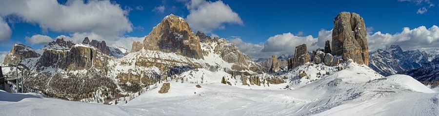
Stage under the Averau and Nuvolau towers; nearby you pass the Cinque Torri rock group, an open-air museum from the First World War.

Rifugio Fedare 2700 m
Not in the online reservation system · book directly with the hut
5
Day 5 · traverse to Rifugio Città di Fiume
↔ 12.5 km↑ 488 m↓ 657 m◷ 4 h 36 min

Rifugio Città di Fiume lies at the foot of Monte Pelmo, a massive peak Italians call the Throne of God.

Rifugio Città di Fiume 1917 m
Not in the online reservation system · book directly with the hut
6
Day 6 · traverse to Rifugio Coldai
↔ 8.7 km↑ 484 m↓ 264 m◷ 3 h 14 min

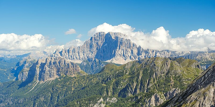
Rifugio Coldai and little Lago Coldai sit directly below Civetta's immense wall, nicknamed the Wall of Walls, one of the Alps' mightiest faces.

Rifugio Coldai 2135 m
Not in the online reservation system · book directly with the hut
7
Day 7 · traverse to Rifugio Vazzoler
↔ 8.7 km↑ 145 m↓ 615 m◷ 3 h 1 min

Rifugio Vazzoler stands below the rock towers of the Civetta-Moiazza group, a mecca of Dolomite climbing.

Rifugio Vazzoler 1904 m
Not in the online reservation system · book directly with the hut
8
Day 8 · traverse to Rifugio Carestiato
↔ 8.9 km↑ 433 m↓ 393 m◷ 3 h 20 min

Rifugio Carestiato continues under Moiazza walls as the route leaves the Civetta area.

Rifugio Carestiato 1568 m
Not in the online reservation system · book directly with the hut
9
Day 9 · traverse to Rifugio Pramperet
↔ 12.8 km↑ 458 m↓ 411 m◷ 4 h 22 min

Rifugio Pramperet now lies within Dolomiti Bellunesi national park, the southernmost and wildest section of the route.

Rifugio Pramperet 1380 m
Not in the online reservation system · book directly with the hut
Descent to the valley · Auronzo di Cadore
From the last hut you descend to the valley village, approximate destination, lodging below.
Auronzo di Cadore
After the trek · lodging
Rest up in Auronzo di Cadore
Hotels and guesthouses in Auronzo di Cadore · Booking.com
Booking.com →
Route alert
Want the whole route on one date?
Leave your e-mail. We’ll write as soon as every hut on the route lines up with no gaps, with the dates straight to your calendar.

What to pack

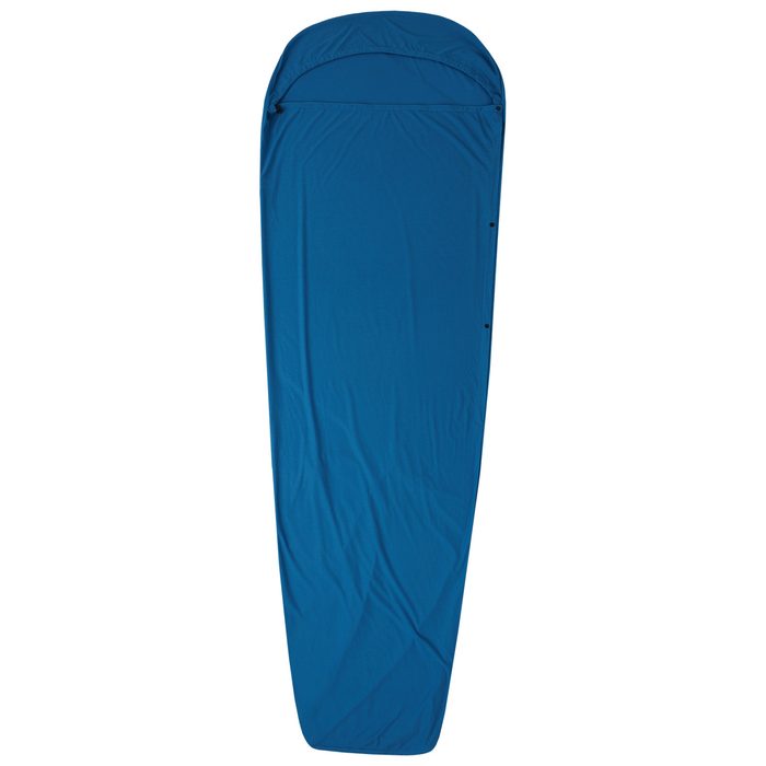
Sleeping bag liner
Sleeping bag liner
Required in huts
Browse at 4camping →
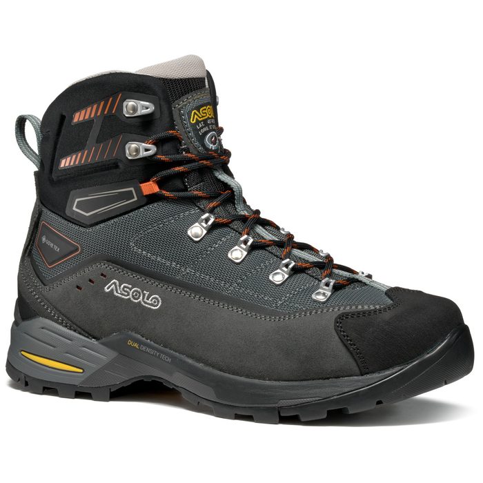
Hiking boots
Hiking boots
Ankle-high, for multi-day treks
Browse at 4camping →
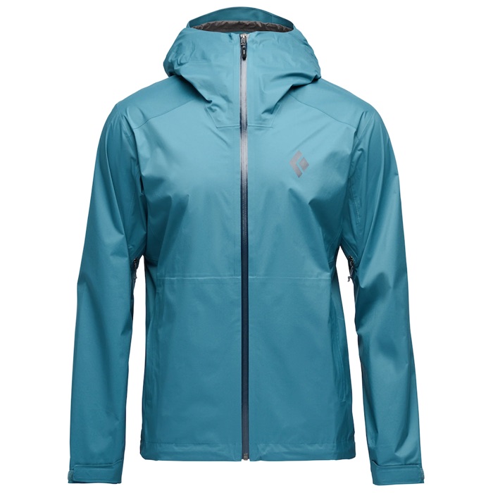
Waterproof jacket
Waterproof jacket
Hardshell, 3-layer
Browse at 4camping →
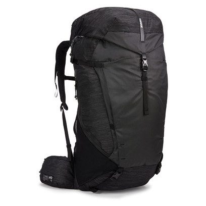
Backpack 30–40 l
Backpack 30–40 l
Multi-day, with rain cover
Browse at 4camping →
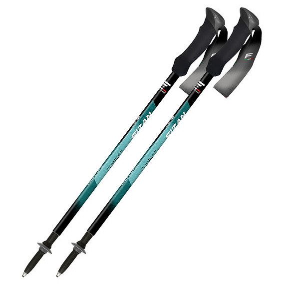
Trekking poles
Trekking poles
Telescopic and foldable
Browse at 4camping →
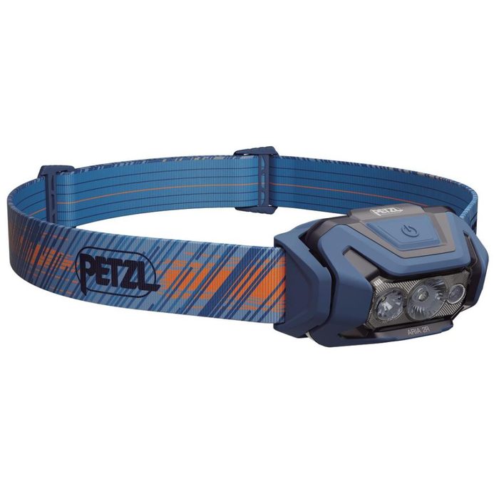
Headlamp
Headlamp
Rechargeable
Browse at 4camping →
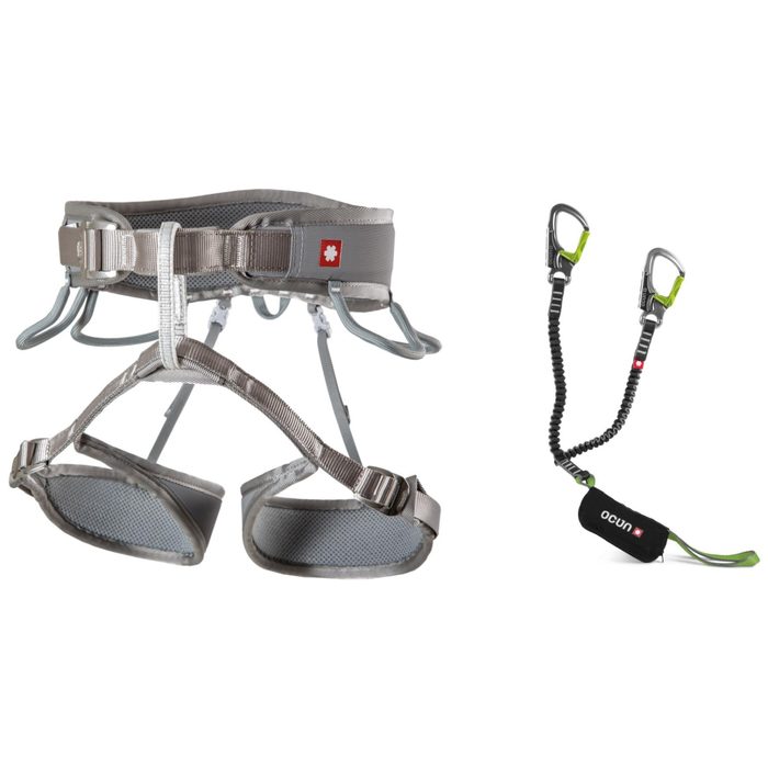
Via ferrata set
Via ferrata set
Shock absorber + carabiners
Browse at 4camping →
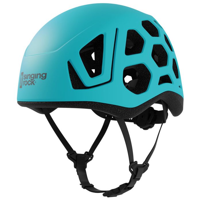
Climbing helmet
Climbing helmet
Light, for via ferrata
Browse at 4camping →

Handy before you go

tips from verified partners
View on GetYourGuide
Partner · experiences
Tours and activities nearby
Guided tours, via ferratas and trips around Bolzano, book online.
View on GetYourGuide →
Get Revolut
Partner · payments
No foreign-currency fees
A card for fee-free payments and withdrawals along the whole route, exchange rate with no markup.
Get Revolut →
Buy an eSIM on Airalo
Partner · connectivity
eSIM data in the Alps
Mobile data without roaming for the whole trek, activated in a minute.
Buy an eSIM on Airalo →

Frequently asked questions

Where does Dolomiten Höhenweg 1 start and end?+
It starts at Pragser Wildsee (Italian: Lago di Braies) in South Tyrol and ends in the city of Belluno on the edge of the Venetian plain. So it runs through the Dolomites from north to south, across the entire range.
How long is Alta Via 1 and what's the elevation gain?+
Roughly 150 km with total climbing around 9,500 m. It's the longest of ten Dolomite high routes.
How many days does the route take?+
Classically 10–13 days depending on stage division and variants. Plan for six to seven hours of hiking daily.
How hard is the route? Can I do it without via ferrata?+
It's demanding aerobically, not technically. It rates as the most accessible of the Dolomite high routes and except for the final stage, the whole thing can be done without via ferrata, just on marked trails.
Which huts do you sleep in on the route?+
Along the way including Rifugio Biella, Fanes, Lagazuoi, Fedare (below Averau), Città di Fiume, Coldai, Vazzoler, Carestiato, Pramperet and Pian de Fontana. The exact combination depends on stage lengths and availability.
What's the highest hut and highest point?+
You sleep highest at Rifugio Lagazuoi at 2,752 m, which is also near the route's highest point. Terrain otherwise stays between 1,500 and 2,800 m.
What are the Lagazuoi tunnels and the White War?+
During WWI, Lagazuoi was the front line between Italian and Austro-Hungarian forces. Italians tunneled into the mountain from 1915 onward to undermine enemy positions. The tunnels survive and can be walked today; nearby Cinque Torri is an open-air war museum.
When is the best time to start?+
Late June through mid-September while huts are open and saddles are snow-free. Outside this season, you risk closed accommodations and snow in the heights.
How do I reserve the huts?+
Book lodging in advance, direct with the hut or through the Alpine club system (Alpenverein / CAI). Popular huts like Lagazuoi and Coldai warrant booking months in advance. Membership lowers the nightly rate.
Do I need via ferrata gear?+
Not on most of the route. Exposed sections where ferrata gear helps come mainly on the final stage over the Schiara group. If you want to secure those passages, bring a set.
How do I get to the start and back from the end?+
Buses run to Lago di Braies from Pustertal valley. From Belluno you return by train or bus. The final stage ends at road level, from which connections run into Belluno.
Who is the route for?+
For fit multi-day trekkers with good aerobic fitness who can handle several hours daily and altitude differences. Climbing skills aren't needed, but comfort with exposure and several consecutive days in the mountains matters.

Similar routes

Show all routes →
Alta Via 1Moderate
Alta Via 1
Dolomites
140 km7-12 days
Alta Via 4Expert
Alta Via 4
Dolomites
100 km6 days
Meran High TrailModerate
Meran High Trail
South Tyrol
92 km5-8 days