🇦🇹Austria · Ötztal Alps

Ötztal Hut Circuit

Multi-day hut-to-hut trek across Alpenverein huts
Ötztal Hut Circuit
Hard Traverse
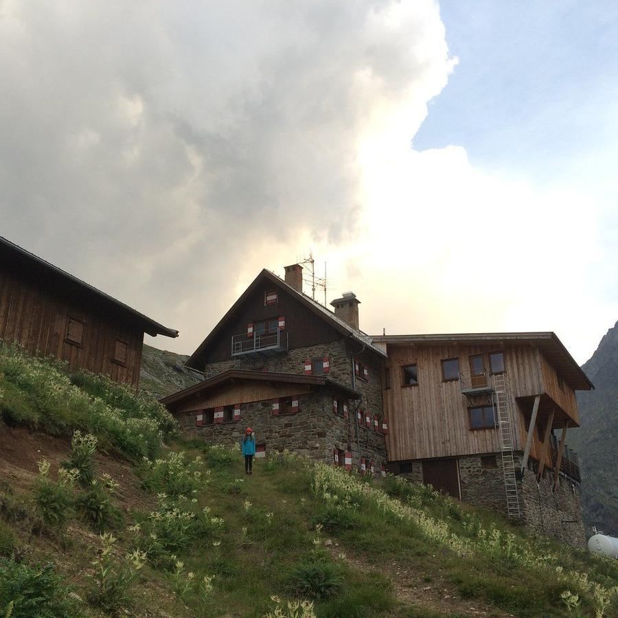
David W. Hogg · BY 2.0
72 km
Distance
+5,800 m
Ascent
7 days
Duration
7
Huts
Best time: July – September
Check hut availability →
Download GPX ↓file contains 76.0 km · 7 stages

About the route

Highest point
3,613 m
Huts on the route
7 × hut
Terrain
High alpine
Best time
July – September

The route at a glance

Elevation profile
↑ 5,945 m ascent↓ 5,560 m descent76.9 km3,613 m summit
from our track · the header shows the official figure
130025003700Langtalereckhütte · 2450 mMartin-Busch-Hütte · 2501 mHochjoch Hospiz · 2413 mVernagthütte · 2755 mTaschachhaus · 2434 mGepatschhaus · 1928 mKaunergrathütte · 2817 m0 km15 km31 km46 km62 km77 km
Line colour = gradient (green gentle → red steep). Dots = huts. Route: © OpenStreetMap (ODbL), elevations from mapy.com.
Route mapOpen full map ↗

Plan and book

Live availability · Alpenverein

Pick a start date, for every night on the route you instantly see the free beds and book directly through the official Alpenverein system.


Choose start date
How many staying overnight
1
„free" = beds for the whole group
MonTueWedThuFriSatSun
All huts freePartly freeSelected
Start · arrival
Sölden
◎ Plan arrival
Sölden
Before the start · lodging
Stay overnight in Sölden
Hotels and guesthouses in Sölden · Booking.com
Booking.com →
1
Langtalereckhütte
Day 1 · traverse to Langtalereckhütte
↔ 0 km◷ ~1 h

Ascent from Obergurgl up Langtal valley to Langtalereckhütte (2480 m), a gradual entry into the high-altitude loop.

Langtalereckhütte 2450 m
Not in the online reservation system · book directly with the hut
2
Martin-Busch-Hütte
Day 2 · traverse to Martin-Busch-Hütte
↔ 14 km↑ 1260 m↓ 1192 m◷ 8 h 20 min

Pass crossing into Niedertal valley to Martin-Busch-Hütte (2501 m) below glacier-hung Similaun. From here a half day's walk reaches Tisenjoch, where Ötzi lay five thousand years.

Martin-Busch-Hütte 2501 m
Not in the online reservation system · book directly with the hut
3
Hochjoch Hospiz
Day 3 · traverse to Hochjoch Hospiz
↔ 8.3 km↑ 955 m↓ 1028 m◷ 6 h 16 min

Ridge stage to Hochjoch Hospiz in Rofental. A mountain priest built the original hut 1869–1872; today's hut has stood since 1927.

Hochjoch Hospiz 2413 m
Not in the online reservation system · book directly with the hut
4
Vernagthütte
Day 4 · traverse to Vernagthütte
↔ 5 km↑ 386 m↓ 41 m◷ 2 h

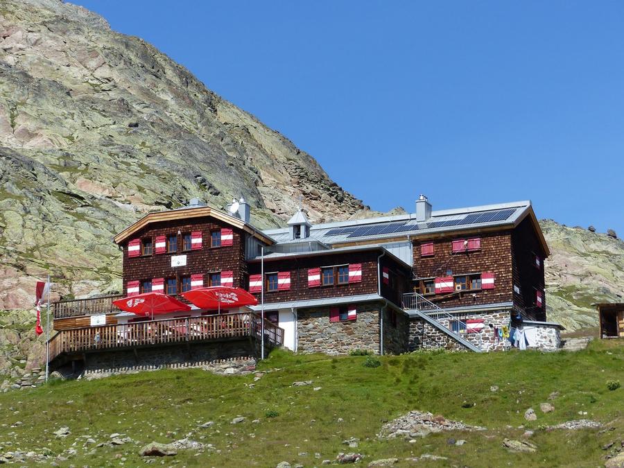
Ascent to Vernagthütte (2755 m) from 1901, wedged between glaciers Guslarferner and Vernagtferner, one of the Alps' longest scientifically monitored glaciers.

Vernagthütte 2755 m
Not in the online reservation system · book directly with the hut
5
Taschachhaus
Day 5 · traverse to Taschachhaus
↔ 18.6 km↑ 1107 m↓ 1414 m◷ 8 h 51 min

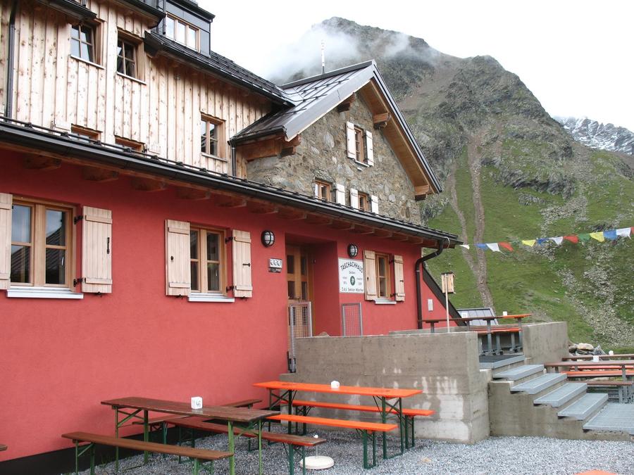
Pass crossing into Pitztal to Taschachhaus (2434 m), the Alpenverein's training base at a glacier snout and classic launch for Wildspitze (3768 m).

Taschachhaus 2434 m
Not in the online reservation system · book directly with the hut
6
Gepatschhaus
Day 6 · traverse to Gepatschhaus
↔ 8.8 km↑ 635 m↓ 1166 m◷ 5 h 33 min

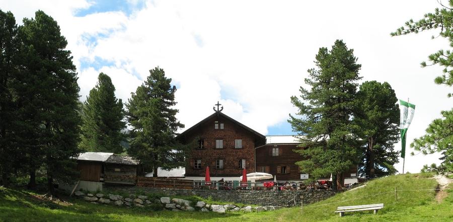
Descent into Kaunerstal to Gepatschhaus (1928 m), Austria's very first Alpenverein hut from 1873, now heritage-protected.

Gepatschhaus 1928 m
Not in the online reservation system · book directly with the hut
7
Kaunergrathütte
Day 7 · traverse to Kaunergrathütte
↔ 21.3 km↑ 1737 m↓ 836 m◷ 10 h 7 min

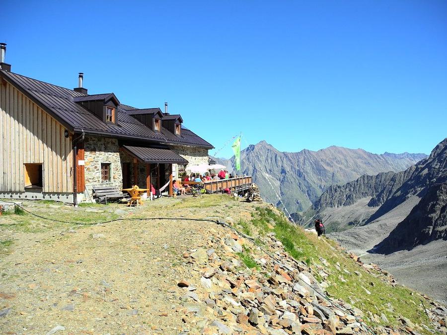
Ascent to Kaunergrathütte (2817 m), the loop's highest point with panorama over all of Kaunerrat, then return to Obergurgl.

Kaunergrathütte 2817 m
Not in the online reservation system · book directly with the hut
Descent to the valley · Sölden
The loop closes back at the starting village, approximate destination, lodging below.
Sölden
After the trek · lodging
Stay an extra day in Sölden
Hotels and guesthouses in Sölden · Booking.com
Booking.com →
Route alert
Want the whole route on one date?
Leave your e-mail. We’ll write as soon as every hut on the route lines up with no gaps, with the dates straight to your calendar.

What to pack

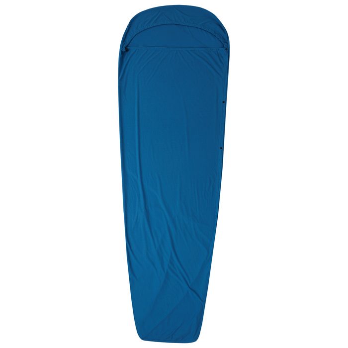
Sleeping bag liner
Sleeping bag liner
Required in huts
Browse at 4camping →
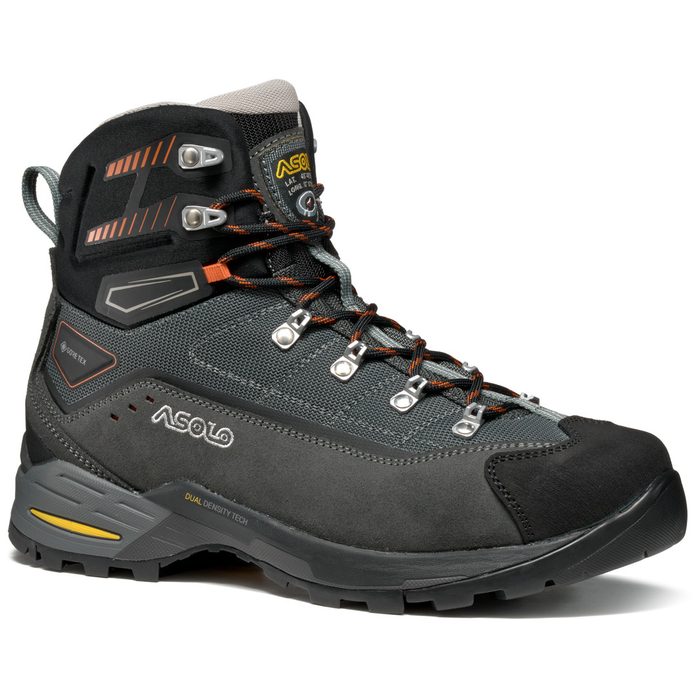
Hiking boots
Hiking boots
Ankle-high, for multi-day treks
Browse at 4camping →
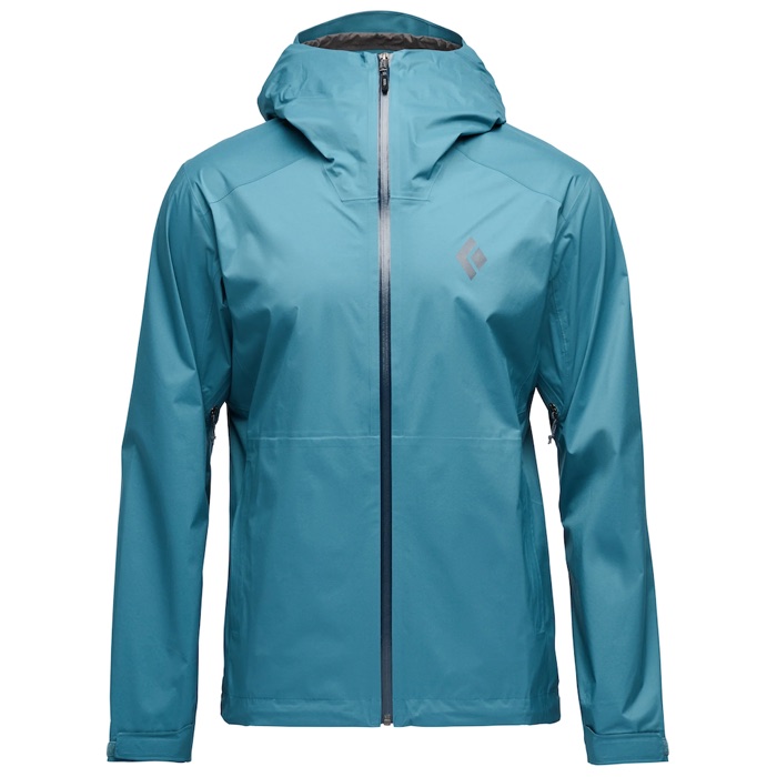
Waterproof jacket
Waterproof jacket
Hardshell, 3-layer
Browse at 4camping →
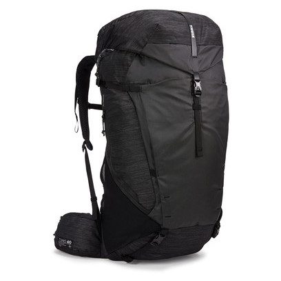
Backpack 30–40 l
Backpack 30–40 l
Multi-day, with rain cover
Browse at 4camping →
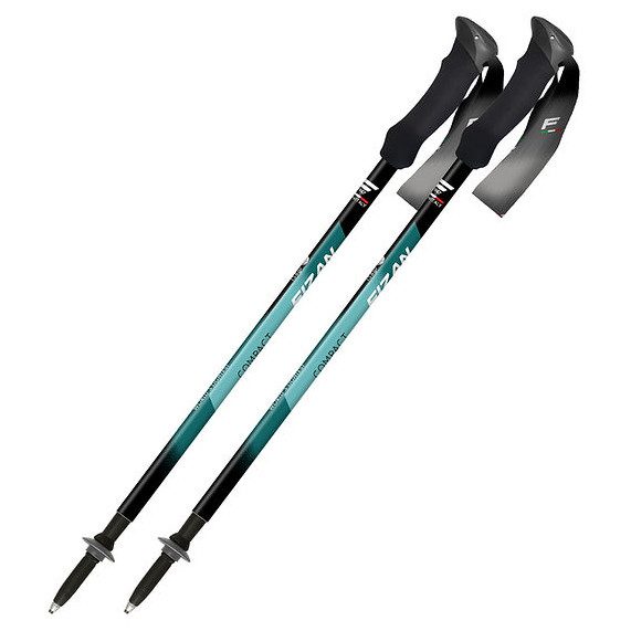
Trekking poles
Trekking poles
Telescopic and foldable
Browse at 4camping →
Headlamp
Headlamp
Rechargeable
Browse at 4camping →
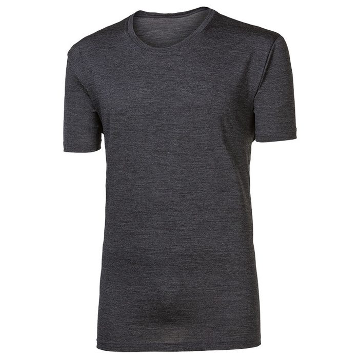
Layered clothing
Layered clothing
Base layer, merino
Browse at 4camping →
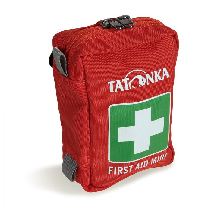
First-aid kit
First-aid kit
+ emergency blanket
Browse at 4camping →

Handy before you go

tips from verified partners
View on GetYourGuide
Partner · experiences
Tours and activities nearby
Guided tours, via ferratas and trips around Sölden, book online.
View on GetYourGuide →
Get Revolut
Partner · payments
No foreign-currency fees
A card for fee-free payments and withdrawals along the whole route, exchange rate with no markup.
Get Revolut →
Buy an eSIM on Airalo
Partner · connectivity
eSIM data in the Alps
Mobile data without roaming for the whole trek, activated in a minute.
Buy an eSIM on Airalo →

Frequently asked questions

How long is Ötztaler Hüttenrunde and how much ascent?+
The loop is roughly 72 kilometres with around 5800 metres of ascent spread over seven daily stages, demanding but manageable high-altitude week.
How many days does the route take?+
Classically seven days, sleeping at seven huts. Start and finish is Obergurgl, so it's a closed loop.
How difficult is the route? Suitable for beginners?+
Difficulty is high. The route crosses high-altitude terrain with passes and stays near glaciers, requires a sure foot and experience. Not for an Alpine trek beginner, less experienced should consider a mountain guide.
Which huts does the loop pass?+
In order: Langtalereckhütte (2480 m), Martin-Busch-Hütte (2501 m), Hochjoch Hospiz, Vernagthütte (2755 m), Taschachhaus (2434 m), Gepatschhaus (1928 m) and Kaunergrathütte (2817 m).
How do you reach Ötzi's discovery site?+
From Martin-Busch-Hütte it's roughly a half day's walk to Tisenjoch at 3210 metres, where the ice released a five-thousand-year-old mummy in 1991. The original is now displayed in Bolzano's museum.
When is best time to go?+
End of June through mid to late September. Outside this window expect snow and closed huts.
How do you book huts?+
Through the Austrian Alpenverein portal (alpenverein.at), each hut separately. Summer sees huts fill; book well ahead.
Is Alpenverein membership worth it?+
Yes. Members pay less for hut nights, get priority if full, and membership includes mountain rescue insurance, useful in this glacier terrain.
Is glacier gear required?+
The main loop follows marked paths, but the route stays close to glaciers and crosses high passes. If uncertain about conditions or wanting to add a summit like Wildspitze, count on crampons, rope and ideally a mountain guide.
Where is the loop's highest point?+
Highest you get is Kaunergrathütte at 2817 m on day seven, with panorama over all of Kaunerrat. Wildspitze (3768 m) towers above the loop, highest peak of the Ötztal Alps.
What's special about Gepatschhaus?+
It's Austria's very first Alpenverein hut, opened 1873, now heritage-protected. It stands where Gepatschferner's glacier tongue once ended.
Where does the loop start and finish?+
Start and finish is Obergurgl in remote upper Ötztal in Tyrol. It's a closed loop, so you return to the same place you left.

Similar routes

Show all routes →
Berliner HöhenwegHard
Berliner Höhenweg
Zillertal Alps
90 km8-9 days
Stubaier HöhenwegHard
Stubaier Höhenweg
Stubai Alps
83 km8 days
Schladminger Tauern HöhenwegModerate
Schladminger Tauern Höhenweg
Low Tauern
76 km5-7 days