The trail between two huts wasn't forged by mountain guides or surveyors. It was forged by Nepalis.
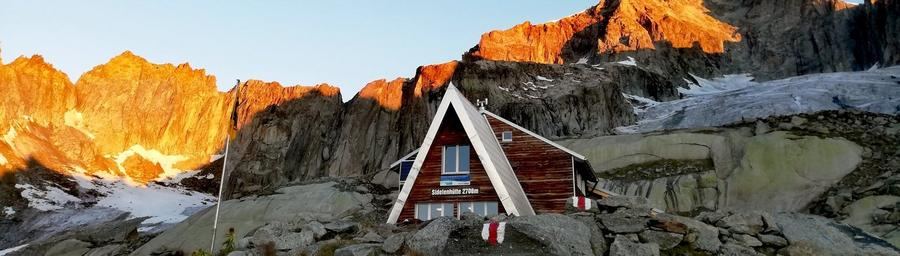
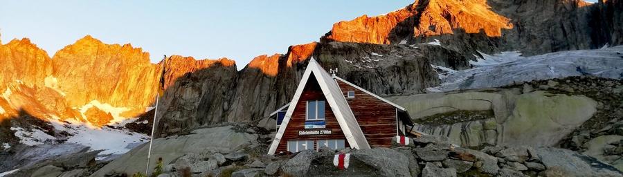
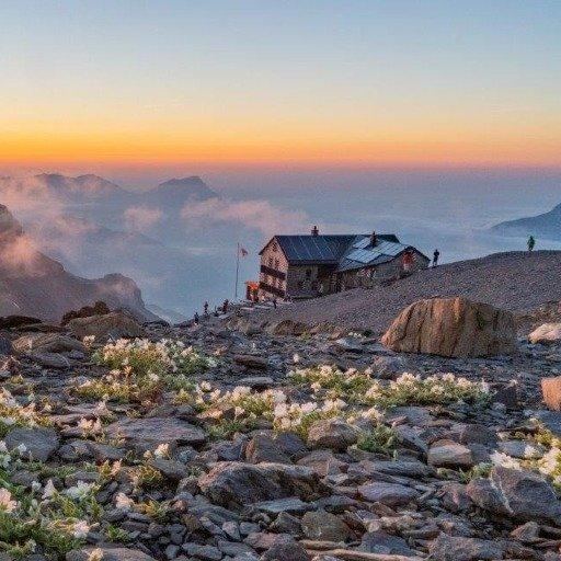
Kitchen assistants from Sidelenhütte and Albert-Heim-Hütte wanted to visit each other, so across a boulder slope beneath Furka they found the fastest line from one shift to the next. Today everyone in the Furka area calls it the "Nepali Highway" and it's become one of the most photogenic passages in Swiss granite mountains. Highway? Not at all. More like a narrow trail that weaves across the flanks of Chli Bielenhorn from stone to stone.
The core of this route is short and sweet. The Nepali Highway itself from Sidelenhütte (2,708 m) to Albert-Heim-Hütte SAC (2,542 m) takes roughly two hours, without much climbing, just 170 m up, 330 m down. But don't be lulled. Blue-white-blue markings and T3+ classification speak plainly: two short passages are secured by fixed rope and twice you cross longer boulder fields where stones look sketchy even if they hold. In June firn fields still lie here and an ice axe isn't luggage. This isn't a promenade walk. This is an alpine trail for feet that know how to balance.
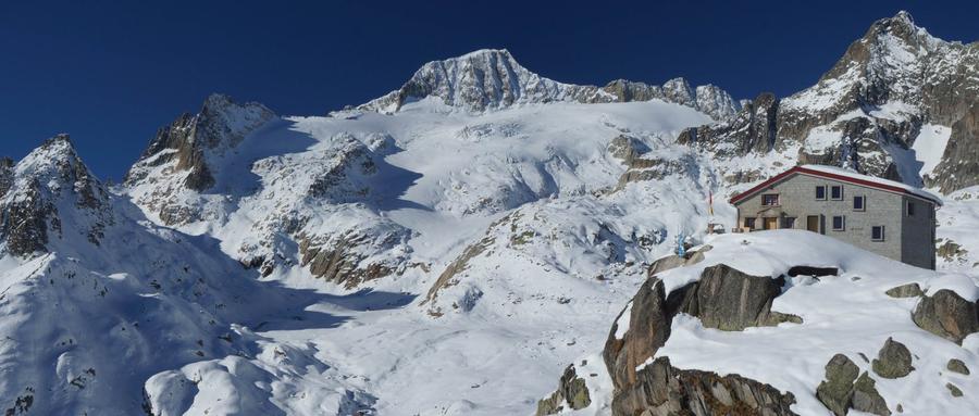
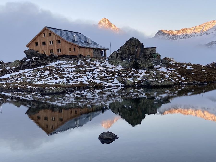
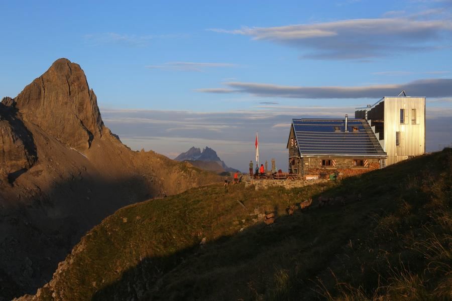
We make it a three-day granite pilgrimage through Urseren. Three days, three stops, the heart of the Gotthard massif within reach, between passes Furka, Gotthard and Oberalp, where Switzerland fractures into stone. Start is Sidelenhütte, a hut sitting in the middle of one of Switzerland's best granite climbing areas. Day two brings the famous crossing to Albert-Heim-Hütte, a hut placed there in 1918 by geologist and glaciologist Albert Heim, who chose the spot himself. It perches on a rock spur beneath Tiefengletscher, squarely in the sights of the Galenstock massif. Day three drops you to Urschner Höhenweg, a panoramic traverse above the Urseren valley, closing the circle.
What will you see? Concretely: Chli Bielenhorn overhead, the tongue of Tiefengletscher, the granite pyramid of Galenstock and alpine lake Seelein, which in calm weather mirrors the sky like glass. Not "stunning panorama" from a brochure, names, numbers, a glacier actually hanging above the hut.
Who's it for? For experienced mountain hikers who like combining solid terrain and low approach. You don't need to overcome thousands of meters of elevation, but you need a sure step on boulders and fixed rope shouldn't unsettle you. Families with older children who've handled scree fields will be happy. Complete beginners should cut their teeth on something softer.
When to go? Albert-Heim-Hütte's season runs roughly mid-June to mid-October, depending on when snow falls. Best are July through September, when snow clears from the traverse and huts run at full capacity. In mist watch carefully, orientation on boulder fields vanishes faster than you'd think.
How to book? Both huts belong to the Swiss Alpine Club (SAC), the Swiss equivalent of Alpenverein, and beds book ahead, weekends and high season it's the only way. Booking goes online via the SAC portal; membership in Alpenverein or SAC cuts hut prices.
The Nepali Highway proves the best mountain trails don't come from a drafting table. They come because two people at two huts wanted to see each other. And now you walk their shortcut, glacier to your left and granite beneath your feet. Who would have thought a commute home from work could look like this?
Pick a start date, for every night on the route you instantly see the free beds and book directly through the official Alpenverein system.



 AT
AT DE
DE CH
CH EN
EN FR
FR IT
IT NL
NL SL
SL SK
SK CZ
CZ