🇦🇹Austria · Zillertal Alps

Zillertal Hut Traverse

Multi-day hut-to-hut trek across Alpenverein huts
Zillertal Hut Traverse
Hard TraverseVia ferrata
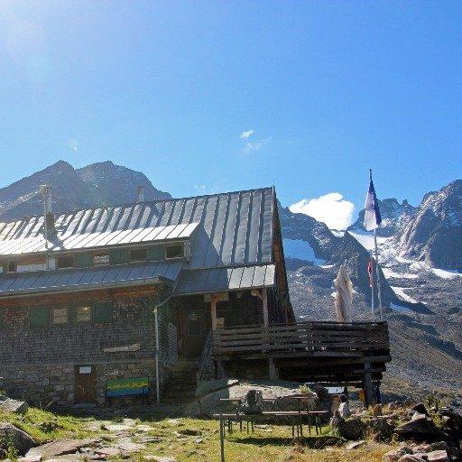
mjhbower · BY-SA 2.0
83 km
Distance
+6,600 m
Ascent
5 days
Duration
5
Huts
Best time: July – September
Check hut availability →
Download GPX ↓file contains 94.2 km · 5 stages

About the route

Highest point
2,804 m
Huts on the route
5 × hut
Secured sections
Via ferrata K2 · avoidable
Best time
July – September

The route at a glance

Elevation profile
↑ 6,049 m ascent↓ 4,778 m descent97.6 km2,804 m summit
from our track · the header shows the official figure
60018002900Alpenrose-Hütte Zillertal · 1900 mGamshütte · 1921 mKarl-von-Edel-Hütte · 2238 mKasseler Hütte (im Zillertal) · 2177 mBerliner Hütte · 2042 m0 km20 km39 km59 km78 km98 km
Line colour = gradient (green gentle → red steep). Dots = huts. Route: © OpenStreetMap (ODbL), elevations from mapy.com.
Route mapOpen full map ↗

Plan and book

Live availability · Alpenverein

Pick a start date, for every night on the route you instantly see the free beds and book directly through the official Alpenverein system.


Choose start date
How many staying overnight
1
„free" = beds for the whole group
MonTueWedThuFriSatSun
All huts freePartly freeSelected
Start · arrival
Brandberg
◎ Plan arrival
Brandberg
Before the start · lodging
Stay overnight in Brandberg
Hotels and guesthouses in Brandberg · Booking.com
Booking.com →
1
Alpenrose-Hütte Zillertal
Day 1 · traverse to Alpenrose-Hütte Zillertal
↔ 25.8 km↑ 1231 m↓ 125 m◷ 9–10 h

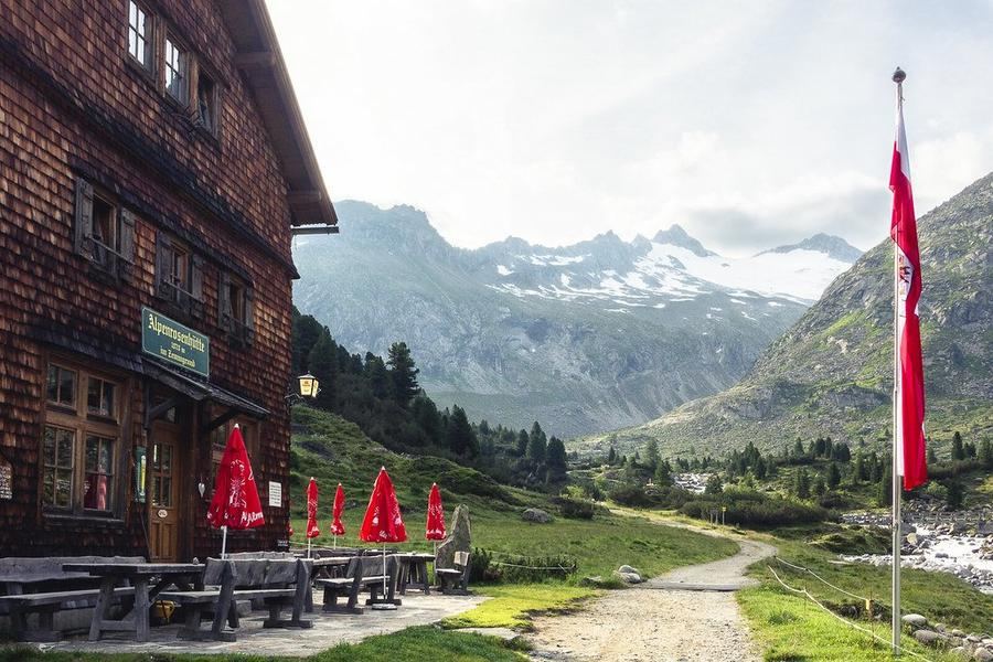
Warm-up climb from Finkenberg to Alpenrose-Hütte (1,878 m). First day to get your legs used to the pack and the Zillertal opening beneath the ridge.

Alpenrose-Hütte Zillertal 1900 m
Not in the online reservation system · book directly with the hut
2
Gamshütte
Day 2 · traverse to Gamshütte
↔ 20.7 km↑ 972 m↓ 967 m◷ 7 h 46 min

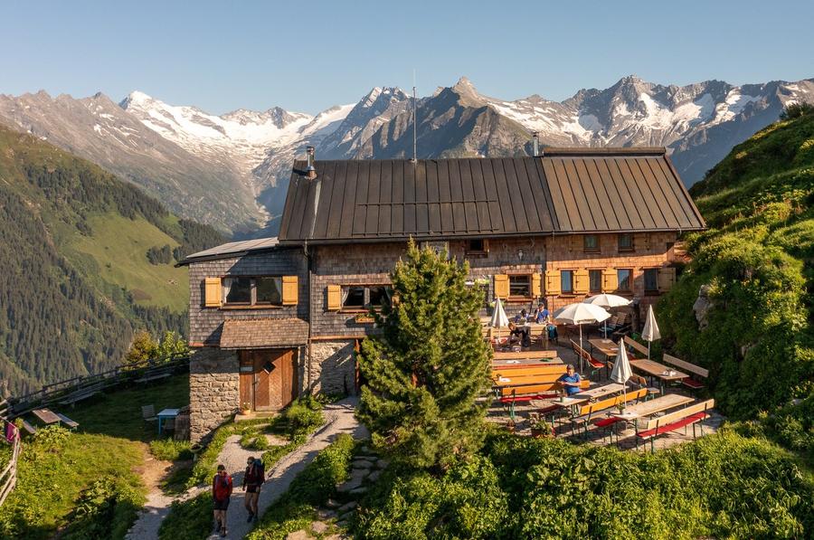
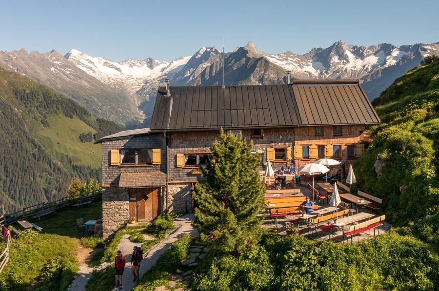
Gamshütte (1,921 m): built in 1928, now run by the Otterfing section. From the terrace you can see Ahornspitze, Großer Löffler, and the tongue of Floitenkees glacier.

Gamshütte 1921 m
Not in the online reservation system · book directly with the hut
3
Karl-von-Edel-Hütte
Day 3 · traverse to Karl-von-Edel-Hütte
↔ 16.8 km↑ 1597 m↓ 1263 m◷ 9 h 57 min

Karl-von-Edel-Hütte (2,238 m), nicknamed Edelhütte, clinging to Ahornspitze. Opened 1889, named after the founder of the Würzburg section; hit by avalanche twice (1950/51 and 1975) and rebuilt both times.

Karl-von-Edel-Hütte 2238 m
Not in the online reservation system · book directly with the hut
4
Kasseler Hütte (im Zillertal)
Day 4 · traverse to Kasseler Hütte (im Zillertal)
↔ 12.5 km↑ 672 m↓ 671 m◷ 5 h 8 min

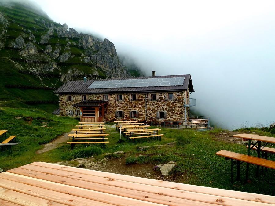
Kasseler Hütte at the end of the wild Stilluppgrund. The Kassel section opened it in 1927 after losing their original hut in South Tyrol following World War I.

Kasseler Hütte (im Zillertal) 2177 m
Not in the online reservation system · book directly with the hut
5
Berliner Hütte
Day 5 · traverse to Berliner Hütte
↔ 18.8 km↑ 1746 m↓ 1822 m◷ 11 h 48 min

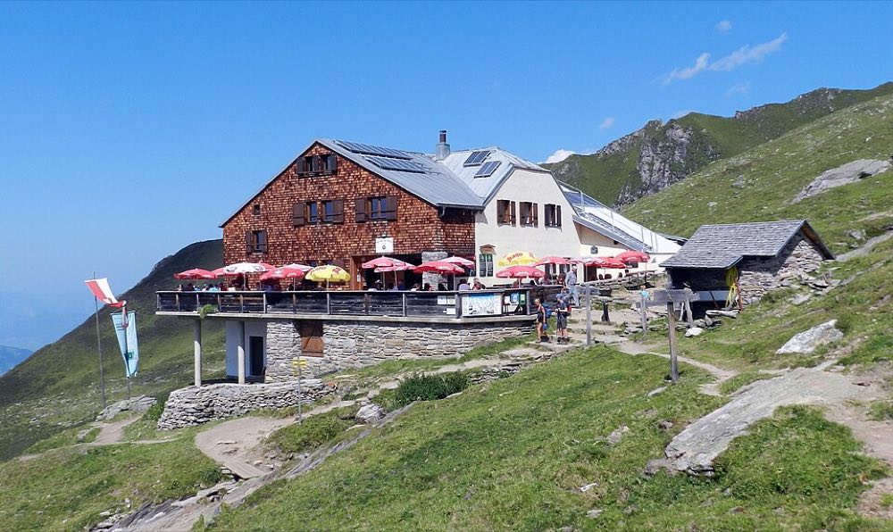
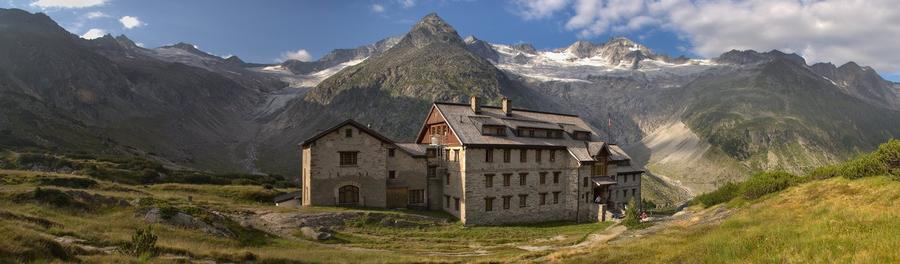
Berliner Hütte (2,042 m) in the upper Zemmgrund: the Zillertal's first hut (1879) and since 1997 Austria's only heritage-protected mountain hut. Imperial dining hall from 1910/11, its own post office, hydroelectric plant from 1911, and the glaciers Schwarzenstein, Hornkees, and Waxeggkees within reach.

Berliner Hütte 2042 m
Not in the online reservation system · book directly with the hut
Descent to the valley · Mayrhofen
From the last hut you descend to the valley village, approximate destination, lodging below.
Mayrhofen
After the trek · lodging
Rest up in Mayrhofen
Hotels and guesthouses in Mayrhofen · Booking.com
Booking.com →
Route alert
Want the whole route on one date?
Leave your e-mail. We’ll write as soon as every hut on the route lines up with no gaps, with the dates straight to your calendar.

What to pack

Sleeping bag liner
Sleeping bag liner
Required in huts
Browse at 4camping →
Hiking boots
Hiking boots
Ankle-high, for multi-day treks
Browse at 4camping →
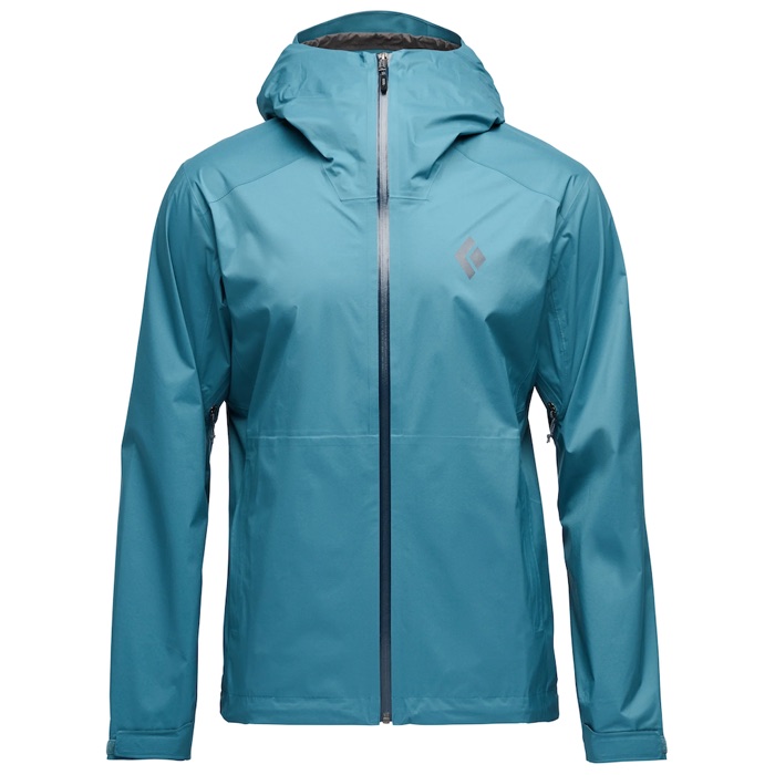
Waterproof jacket
Waterproof jacket
Hardshell, 3-layer
Browse at 4camping →
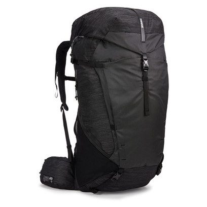
Backpack 30–40 l
Backpack 30–40 l
Multi-day, with rain cover
Browse at 4camping →
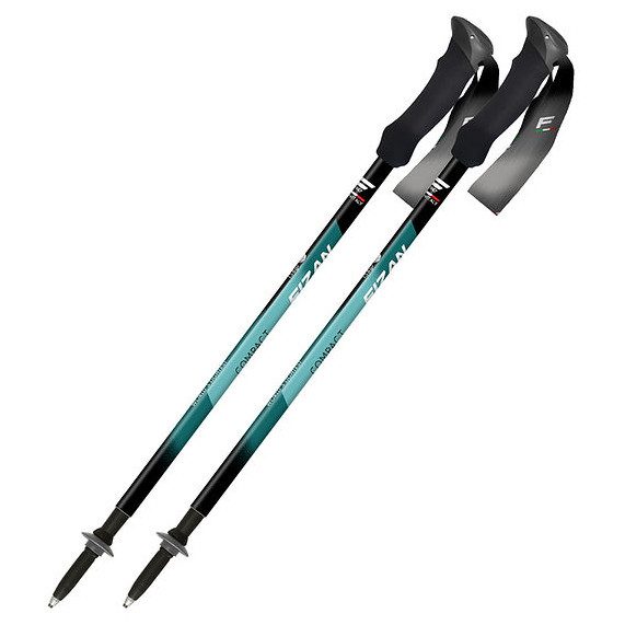
Trekking poles
Trekking poles
Telescopic and foldable
Browse at 4camping →
Headlamp
Headlamp
Rechargeable
Browse at 4camping →
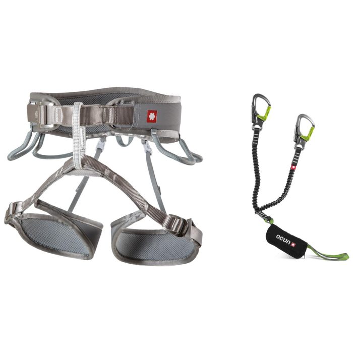
Via ferrata set
Via ferrata set
Shock absorber + carabiners
Browse at 4camping →
Climbing helmet
Climbing helmet
Light, for via ferrata
Browse at 4camping →

Handy before you go

tips from verified partners
View on GetYourGuide
Partner · experiences
Tours and activities nearby
Guided tours, via ferratas and trips around Brandberg, book online.
View on GetYourGuide →
Get Revolut
Partner · payments
No foreign-currency fees
A card for fee-free payments and withdrawals along the whole route, exchange rate with no markup.
Get Revolut →
Buy an eSIM on Airalo
Partner · connectivity
eSIM data in the Alps
Mobile data without roaming for the whole trek, activated in a minute.
Buy an eSIM on Airalo →

Frequently asked questions

How long is the Zillertal Hut Trail and how many days does it take?+
The route is 83 km with approximately 6,600 m of elevation gain, spread over 5 days sleeping in five huts. It runs from Finkenberg via the huts down to Mayrhofen.
How difficult is the route?+
Challenging (high-altitude). The trail runs exclusively through high-altitude terrain and demands absolute sureness of foot, good fitness, and resilience to exposure. Not a route for beginners.
Where does the trail start and end?+
The start is in Finkenberg, the finish in Mayrhofen, both villages lie directly in the Zillertal and are well accessible by public transport.
Which huts will I sleep in on the trail?+
In order: Alpenrose-Hütte, Gamshütte (1,921 m), Karl-von-Edel-Hütte / Edelhütte (2,238 m), Kasseler Hütte, and finally Berliner Hütte (2,042 m).
When is the best time to hike this trail?+
Mid-July through mid-September. Earlier, snowfields on the passes make the route dangerous; peak summer is ideal.
How do I book beds at the huts?+
All five are managed Alpenverein (Alpenverein) huts. Book beds in advance, preferably through each hut's online reservation system, at peak season they fill quickly.
Do I need to be an Alpenverein member?+
No, but it pays. Members get discounts on beds and mountain rescue insurance; on a multi-day traverse like this, your card typically pays for itself.
Is the trail secured with via ferratas?+
Classic via ferrata isn't the backbone of this trail, it's mainly high-altitude paths, boulder fields, and passes. Still, expect exposure and a sure foot; check current conditions and any secured sections with the huts before you go.
Why is Berliner Hütte so famous?+
It opened in 1879 as the Zillertal's first hut and became Austria's only heritage-protected mountain hut in 1997. Inside you'll find an imperial-style dining hall from 1910/11.
What kind of terrain will I encounter on the traverse?+
High-altitude: boulder and scree fields, passes, views of glaciers (Schwarzenstein, Hornkees, Waxeggkees) and 3,000-meter peaks of the Zillertal Alps. You may encounter remaining snowfields until mid-July.
Who is this trail not suitable for?+
Beginners, anyone with a fear of heights, and anyone without the fitness for several days of 1,300 m+ elevation gain daily with a pack.
How does this traverse relate to the Berliner Höhenweg?+
It's the shortened, hardened essence of the Berliner Höhenweg circuit (Zillertaler Runde), a shorter variant that links five key huts of the region into a five-day traverse from Finkenberg to Mayrhofen.

Similar routes

Show all routes →
Berliner HöhenwegHard
Berliner Höhenweg
Zillertal Alps
90 km8-9 days
Stubaier HöhenwegHard
Stubaier Höhenweg
Stubai Alps
83 km8 days
Schladminger Tauern HöhenwegModerate
Schladminger Tauern Höhenweg
Low Tauern
76 km5-7 days