🇩🇪Germany · Bavarian Alps / Schliersee

Schliersee Bergtour

Multi-day hut-to-hut trek across Alpenverein huts
Schliersee Bergtour
Moderate Traverse
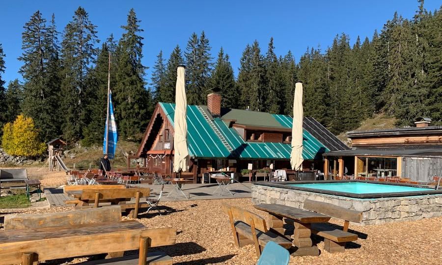
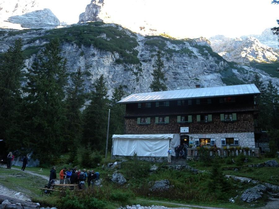
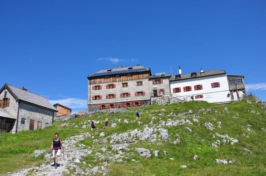
© Obere Maxlraineralm · hut-reservation.org
24 km
Distance
+1,400 m
Ascent
2-3 days
Duration
3
Huts
Best time: July – September
Check hut availability →
Download GPX ↓file contains 16.6 km · 3 stages

About the route

Highest point
1,587 m
Huts on the route
3 × hut
Terrain
High alpine
Best time
July – September

The route at a glance

Elevation profile
↑ 881 m ascent↓ 828 m descent16.7 km1,587 m summit
from our track · the header shows the official figure
110014001600Obere Maxlraineralm · 1520 mBodenschneidhaus · 1365 mTaubensteinhaus · 1567 m0 km3 km7 km10 km13 km17 km
Line colour = gradient (green gentle → red steep). Dots = huts. Route: © OpenStreetMap (ODbL), elevations from mapy.com.
Route mapOpen full map ↗

Plan and book

Live availability · Alpenverein

Pick a start date, for every night on the route you instantly see the free beds and book directly through the official Alpenverein system.


Choose start date
How many staying overnight
1
„free" = beds for the whole group
MonTueWedThuFriSatSun
All huts freePartly freeSelected
Start · arrival
Schliersee
◎ Plan arrival
Schliersee
Before the start · lodging
Stay overnight in Schliersee
Hotels and guesthouses in Schliersee · Booking.com
Booking.com →
1
Obere Maxlraineralm
Day 1 · traverse to Obere Maxlraineralm
↔ 0 km◷ ~1 h

2
Bodenschneidhaus
Day 2 · traverse to Bodenschneidhaus
↔ 8.1 km↑ 348 m↓ 505 m◷ 3 h 11 min

3
Taubensteinhaus
Day 3 · traverse to Taubensteinhaus
↔ 8.5 km↑ 578 m↓ 369 m◷ 3 h 43 min

Descent to the valley · Schliersee
The loop closes back at the starting village, approximate destination, lodging below.
Schliersee
After the trek · lodging
Stay an extra day in Schliersee
Hotels and guesthouses in Schliersee · Booking.com
Booking.com →
Route alert
Want the whole route on one date?
Leave your e-mail. We’ll write as soon as every hut on the route lines up with no gaps, with the dates straight to your calendar.

What to pack

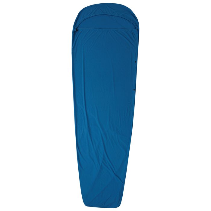
Sleeping bag liner
Sleeping bag liner
Required in huts
Browse at 4camping →
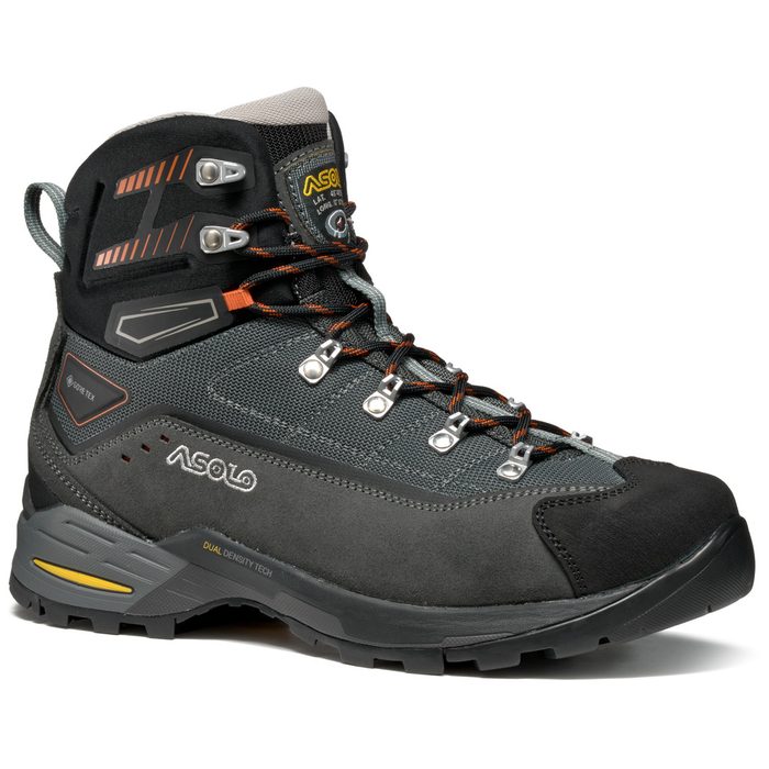
Hiking boots
Hiking boots
Ankle-high, for multi-day treks
Browse at 4camping →
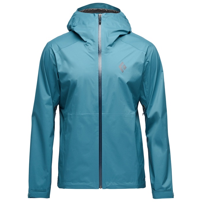
Waterproof jacket
Waterproof jacket
Hardshell, 3-layer
Browse at 4camping →
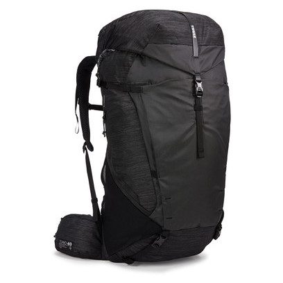
Backpack 30–40 l
Backpack 30–40 l
Multi-day, with rain cover
Browse at 4camping →
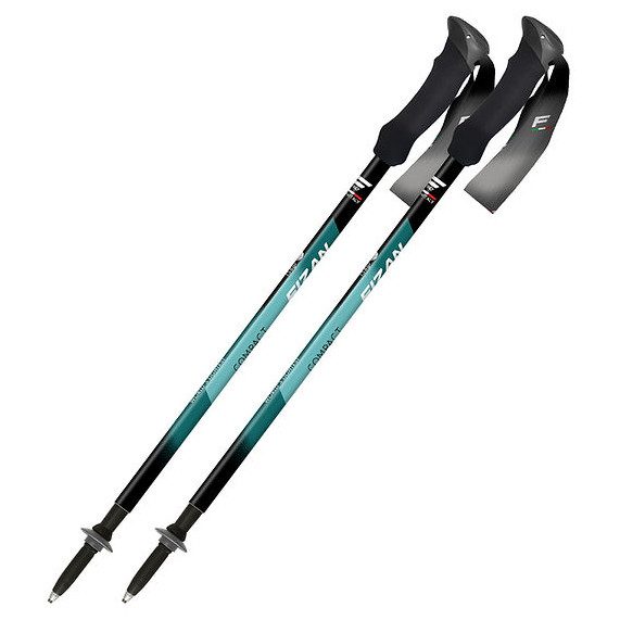
Trekking poles
Trekking poles
Telescopic and foldable
Browse at 4camping →
Headlamp
Headlamp
Rechargeable
Browse at 4camping →
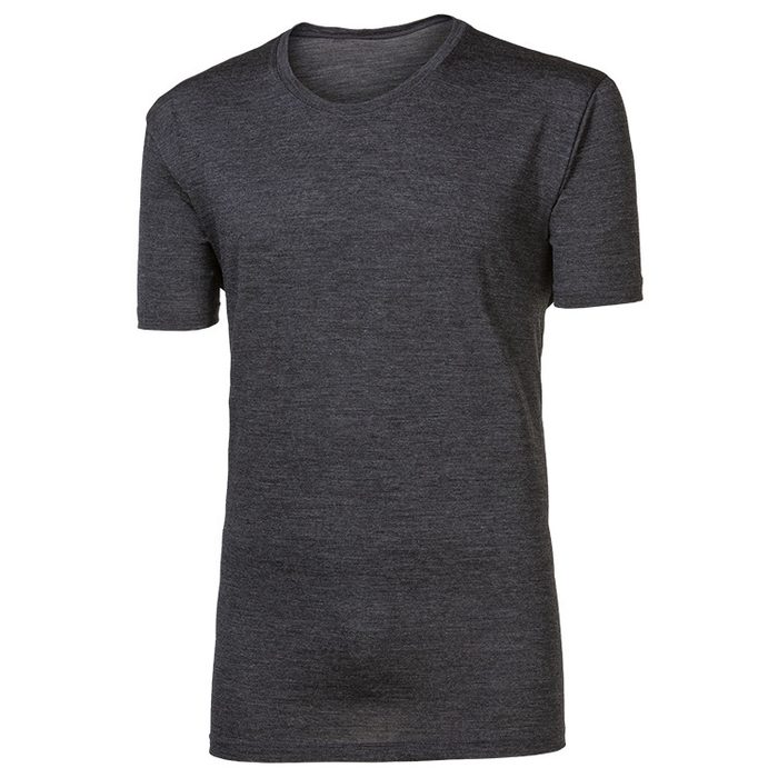
Layered clothing
Layered clothing
Base layer, merino
Browse at 4camping →
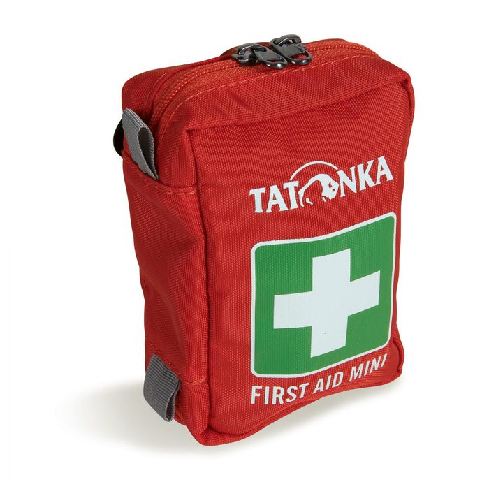
First-aid kit
First-aid kit
+ emergency blanket
Browse at 4camping →

Handy before you go

tips from verified partners
View on GetYourGuide
Partner · experiences
Tours and activities nearby
Guided tours, via ferratas and trips around Schliersee, book online.
View on GetYourGuide →
Get Revolut
Partner · payments
No foreign-currency fees
A card for fee-free payments and withdrawals along the whole route, exchange rate with no markup.
Get Revolut →
Buy an eSIM on Airalo
Partner · connectivity
eSIM data in the Alps
Mobile data without roaming for the whole trek, activated in a minute.
Buy an eSIM on Airalo →

Frequently asked questions

How long is the Schliersee Bergtour route?+
The loop is 24 km, starting and ending at Spitzingsee in the Bavarian Alps.
How many days does Schliersee Bergtour take?+
2 or 3 days depending on pace and whether you include the Taubensteinhaus stage.
How difficult is the route?+
Moderate, a ridge-walk with sustained climbs and descents between huts, not an extreme crossing.
Is via ferrata equipment necessary?+
No, the route doesn't require via ferrata gear and uses marked trails.
Is Schliersee Bergtour beginner-friendly?+
Moderate difficulty and no technical sections make it accessible to less experienced trekkers, though multi-day physical exertion is still expected.
Which huts are on the route?+
Obere Maxlraineralm on day one, Bodenschneidhaus on day two, and Taubensteinhaus on day three (for the extended version).
How do I book hut stays?+
Reserve through Alpenverein's official system; advance booking is essential due to limited capacity in peak season.
Where does the route start and end?+
Start and end at Spitzingsee, a loop with no transport needed between trailheads.
When is the best time for this trek?+
Summer months when trails are snow-free and huts are open.
What's the difference between the 2-day and 3-day versions?+
Two days covers Obere Maxlraineralm and Bodenschneidhaus; three days adds Taubensteinhaus, the highest point.
In which region does the route lie?+
The Bavarian Alps between Schliersee and Tegernsee lakes in Germany.

Similar routes

Show all routes →
Zugspitze Three-Day CircuitModerate
Zugspitze Three-Day Circuit
Wetterstein
22 km3 days
Watzmann CircuitModerate
Watzmann Circuit
Berchtesgaden Alps
53 km3-4 days
Heilbronner WegHard
Heilbronner Weg
Allgäu Alps
45 km2-3 days