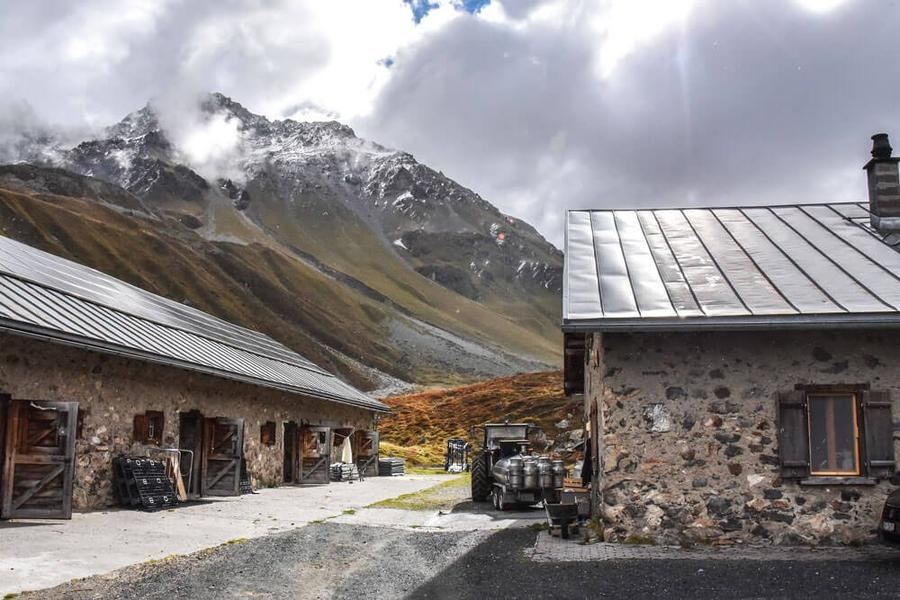
🇨🇭Switzerland · Graubünden / Parc Ela

Graubünden Almwanderung

Multi-day hut-to-hut trek across Alpenverein huts
Graubünden Almwanderung
Easy Traverse
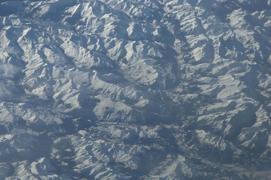
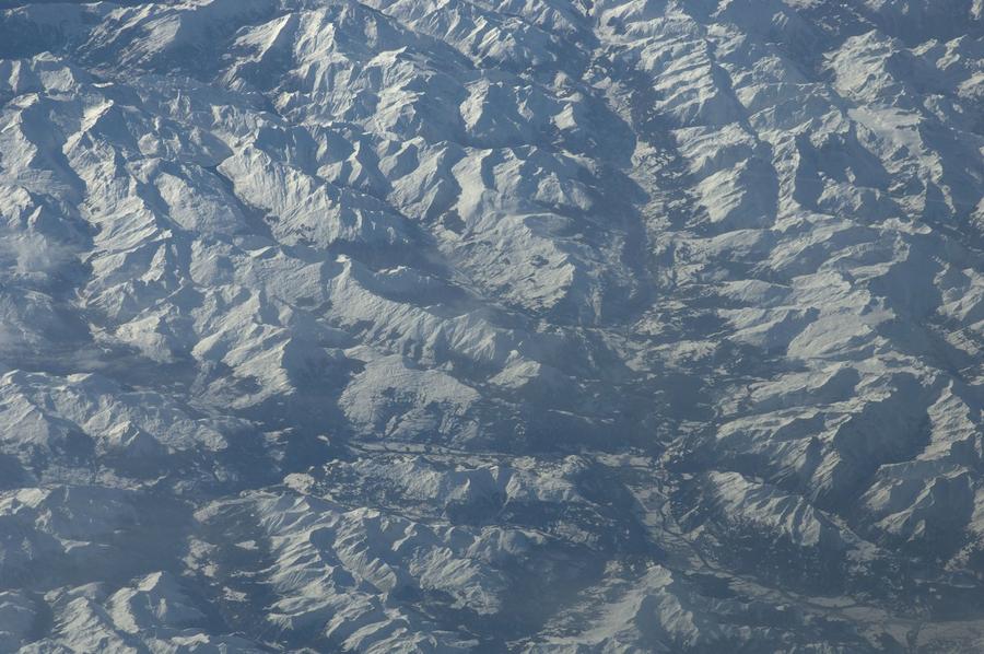
Earth Science and Remote Sensing Unit, Lyndon B. Johnson Spa · Public domain
22 km
Distance
+1,100 m
Ascent
2-3 days
Duration
3
Huts
Best time: July – September
Check hut availability →
Download GPX ↓file contains 24.7 km · 3 stages

About the route

Highest point
2,179 m
Huts on the route
3 × hut
Terrain
High alpine
Best time
July – September

The route at a glance

Elevation profile
↑ 1,675 m ascent↓ 1,172 m descent25.1 km2,179 m summit
from our track · the header shows the official figure
90016002200Aclas Dafora · 1693 mSägässähenki Jenisberg · 1504 mAgroturissem Alp d'Err · 2178 m0 km5 km10 km15 km20 km25 km
Line colour = gradient (green gentle → red steep). Dots = huts. Route: © OpenStreetMap (ODbL), elevations from mapy.com.
Route mapOpen full map ↗

Plan and book

Live availability · Alpenverein

Pick a start date, for every night on the route you instantly see the free beds and book directly through the official Alpenverein system.


Choose start date
How many staying overnight
1
„free" = beds for the whole group
MonTueWedThuFriSatSun
All huts freePartly freeSelected
Start · arrival
Tiefencastel
◎ Plan arrival
Tiefencastel
Before the start · lodging
Stay overnight in Tiefencastel
Hotels and guesthouses in Tiefencastel · Booking.com
Booking.com →
1
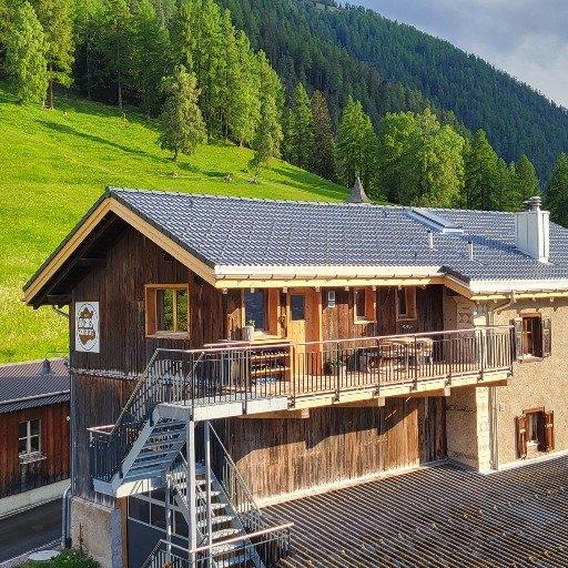
Aclas Dafora
Day 1 · traverse to Aclas Dafora
↔ 10.4 km↑ 399 m↓ 579 m◷ 4–5 h

Aclas Dafora 1693 m
Valley village · lodging via Booking.com
Booking.com →
2
Sägässähenki Jenisberg
Day 2 · traverse to Sägässähenki Jenisberg
↔ 10.2 km↑ 416 m↓ 603 m◷ 3 h 52 min

3
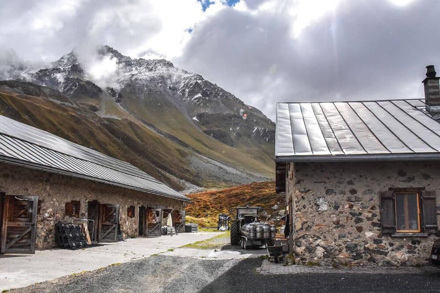
Agroturissem Alp d'Err
Day 3 · traverse to Agroturissem Alp d'Err
↔ 14.5 km↑ 1257 m↓ 571 m◷ 7 h 9 min

Agroturissem Alp d'Err 2178 m
Valley village · lodging via Booking.com
Booking.com →
Descent to the valley · Tiefencastel
The loop closes back at the starting village, approximate destination, lodging below.
Tiefencastel
After the trek · lodging
Stay an extra day in Tiefencastel
Hotels and guesthouses in Tiefencastel · Booking.com
Booking.com →
Route alert
Want the whole route on one date?
Leave your e-mail. We’ll write as soon as every hut on the route lines up with no gaps, with the dates straight to your calendar.

What to pack

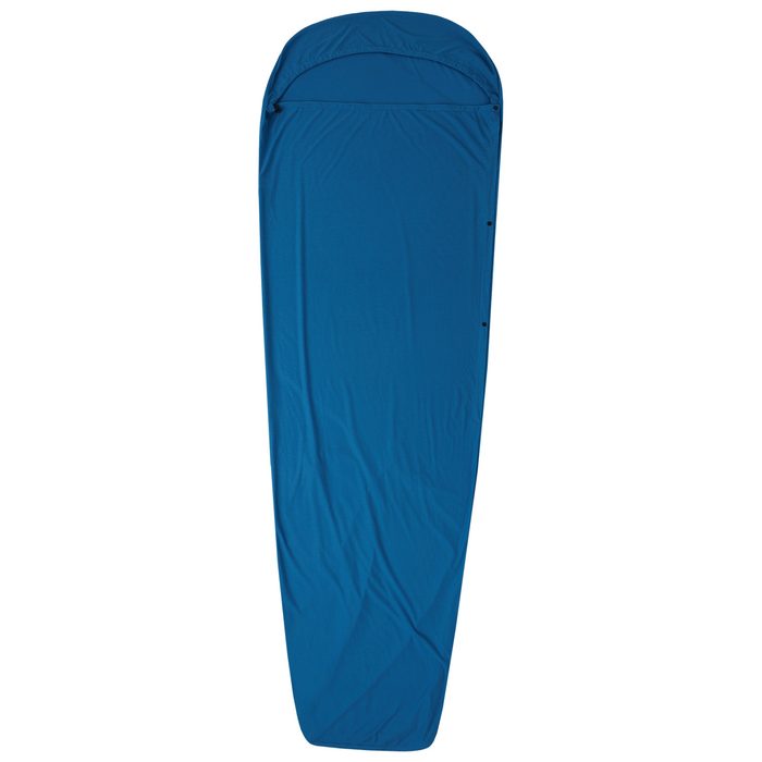
Sleeping bag liner
Sleeping bag liner
Required in huts
Browse at 4camping →
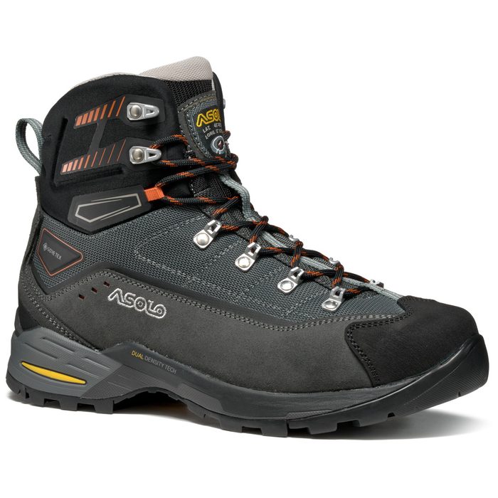
Hiking boots
Hiking boots
Ankle-high, for multi-day treks
Browse at 4camping →
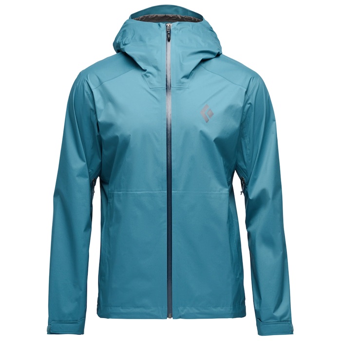
Waterproof jacket
Waterproof jacket
Hardshell, 3-layer
Browse at 4camping →
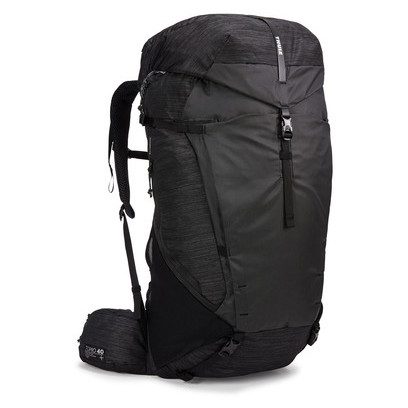
Backpack 30–40 l
Backpack 30–40 l
Multi-day, with rain cover
Browse at 4camping →
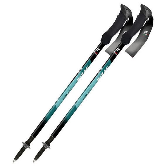
Trekking poles
Trekking poles
Telescopic and foldable
Browse at 4camping →
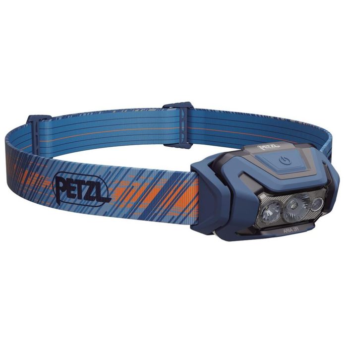
Headlamp
Headlamp
Rechargeable
Browse at 4camping →
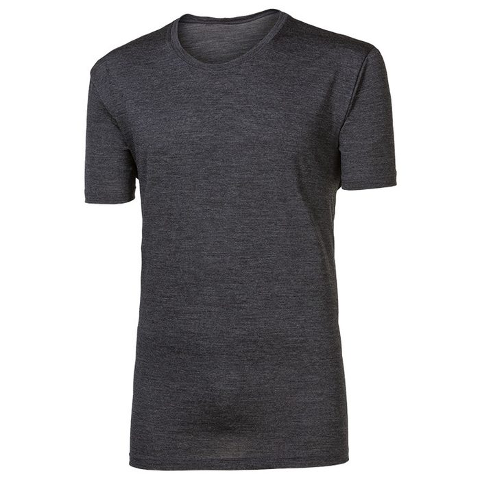
Layered clothing
Layered clothing
Base layer, merino
Browse at 4camping →
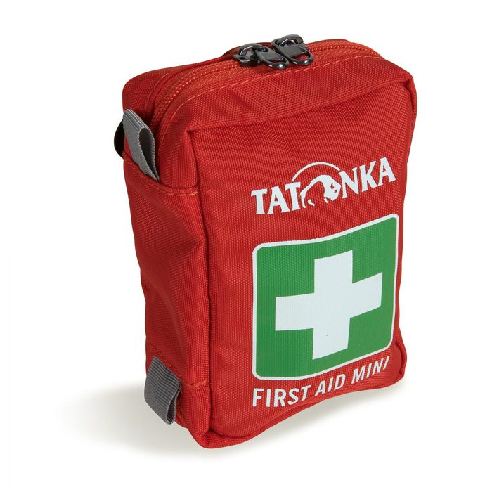
First-aid kit
First-aid kit
+ emergency blanket
Browse at 4camping →

Handy before you go

tips from verified partners
View on GetYourGuide
Partner · experiences
Tours and activities nearby
Guided tours, via ferratas and trips around Tiefencastel, book online.
View on GetYourGuide →
Get Revolut
Partner · payments
No foreign-currency fees
A card for fee-free payments and withdrawals along the whole route, exchange rate with no markup.
Get Revolut →
Buy an eSIM on Airalo
Partner · connectivity
eSIM data in the Alps
Mobile data without roaming for the whole trek, activated in a minute.
Buy an eSIM on Airalo →

Frequently asked questions

How long is the Bündner Alpwanderung route?+
The trek is 22 kilometers, split across 2 or 3 days depending on pace and hut choice.
How difficult is this route?+
Rated as easy, mountain walking on marked trails without technical difficulty.
Do you need via ferrata gear on Bündner Alpwanderung?+
According to available data, the route contains no via ferrata sections, so the gear isn't needed.
Where does the trek start and end?+
It's a loop, start and end in Filisur village in Graubünden canton.
Which huts and farms are on the route?+
Day one leads to Aclas Dafora farm; day two to Sägässähenki agritourism farm in Jenisberg; day three (if taken) to Alp d'Err cheese dairy.
Is Bündner Alpwanderung suitable for beginners?+
Yes, the easy rating and short length make it suitable even for less experienced trekkers or as a first multi-day hut trek.
Which region does the route cover?+
The trek runs through Parc Ela nature reserve in Graubünden canton, Switzerland.
How do I book lodging at the huts?+
Contact operators directly or, if huts are Alpenverein members, book through their official system.
How many days should I schedule for the route?+
The route is designed for 2 or 3 days, shorter for faster pace, three days for a more leisurely split including the Alp d'Err cheese dairy.
Is the route family-friendly with children?+
The easy rating and short total distance make it suitable for family hiking; specific child-friendliness depends on individual children's fitness and segment lengths.

Similar routes

Show all routes →
Ela TrekModerate
Ela Trek
Graubünden / Parc Ela
45 km4 days
BärentrekModerate
Bärentrek
Bernese Alps
100 km6 days
Kesch TrekModerate
Kesch Trek
Graubünden
36 km4 days